CASP Visit CASP website

Main

  • About Us
    • How We Can Help
    • A Bit of History
    • Our Status
    • People
    • Jobs
    • SEM Facility
    • Contact Us
    • News
    • Preventing Harm in Research and Innovation
  • Products
    • Geological Carbon Storage Research
    • Regional Research
    • Reports
    • Data Packages
    • Geological Collections and Data
  • Charity and Education
    • Publications
    • Meetings
    • The Robert Scott Research Fund
    • The Andrew Whitham CASP Fieldwork Awards
    • Outreach
  • Interactive Map
    • Arctic Region
    • China Region
    • East Africa Region
    • North Africa and Middle East Region
    • North Atlantic Region
    • Russia Region
    • South Atlantic Region
    • Southeast Europe to West Central Asia Region

Falkland Islands-Malvinas

  1. Home
  2. Regions
  3. Falkland Islands-Malvinas

Falkland Islands-Malvinas

Exploration efforts around the Falklands were given renewed impetus following the Sea Lion discovery in 2010. Uncertainty, however, remains as to the commercialisation of these frontier assets.

Map of Region

Click here to explore our interactive map

Regional Expertise

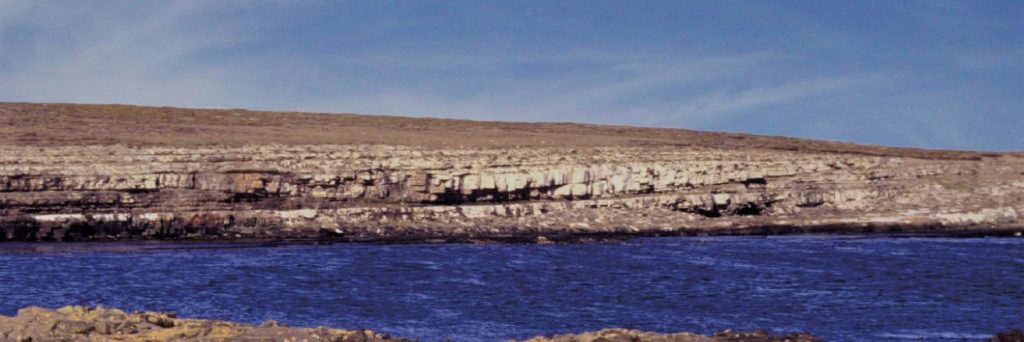
CASP and its scientific partners (Centro de Investigaciones Geologicas, La Plata, Argentina; University of Texas Institute for Geophysics, Austin, Texas; and the universities of Aberdeen and Edinburgh) carried out pioneering fieldwork in the Falklands-Malvinas, Argentina and South Africa between 1995 and 2000. This resulted in important new information on the stratigraphy and hydrocarbon potential of pre-rift strata in the region and innovative new palinspastic reconstructions of Gondwana. This work, combined with evidence from South Africa, confirmed suggestions that the Falklands Plateau was situated off the southeast coast of South Africa prior to Gondwana break-up and has subsequently been rotated by ~180°.

Most Recent Reports

  • Lithostratigraphy and sedimentology of Falkland Island Permian (Pre-rift) strata: Current developments CASP.SAP.19
  • Stratigraphy and sedimentology of the Permian of the Falkland Islands: Lithostratigraphic and Palaeoenvironmental links with South Africa CASP.SAP.8
  • Structural geology of the Cantera area, East Falkland: Regional implications CASP.SAP.12
  • Falkland Islands geological field guide CASP.SAP.FG
  • Falkland/Malvinas Islands and Falkland/Malvinas Plateau: Keyworded Bibliography CASP.SAP.5
View a full list of our reports

Interactive Map

  • Arctic Region
    • Canadian-Alaskan Arctic
    • East Greenland and Mid-Norway
    • Western Barents Shelf
    • Eastern Barents Shelf
    • Russian Arctic
  • China Region
    • Northwest China
    • North China
    • South China
  • East Africa Region
  • North Africa and Middle East Region
    • North Africa Region
    • Oman Fracture Research
    • Oman Palaeokarst Research
    • Zagros
  • North Atlantic Region
    • East Greenland and Mid-Norway
    • SE Greenland and Faroe-Shetland Islands
    • Western Barents Shelf
    • Southern North Sea
  • Russia Region
    • Eastern Barents Shelf
    • European Russia
    • Russian Arctic
    • West Siberian Basin
    • Siberian Platform
    • Russian Far East
  • South Atlantic Region
    • Sergipe-Alagoas Basin
    • Neuquén Basin
    • Falkland Islands-Malvinas
    • West and Southern Africa
  • Southeast Europe to West Central Asia Region
    • Dinarides-Hellenides
    • Black Sea Region
    • North Caspian
    • Central Caspian
    • South Caspian
  • © CASP A Not-For-Profit Organisation
  • Charity No. 298729
  • Privacy
  • Cookies
  • Contact Us
  • Jobs
  • Twitter
  • LinkedIn