CASP Visit CASP website

Main

  • About Us
    • How We Can Help
    • A Bit of History
    • Our Status
    • People
    • Jobs
    • SEM Facility
    • Contact Us
    • News
    • Preventing Harm in Research and Innovation
  • Products
    • Geological Carbon Storage Research
    • Regional Research
    • Reports
    • Data Packages
    • Geological Collections and Data
  • Charity and Education
    • Publications
    • Meetings
    • The Robert Scott Research Fund
    • The Andrew Whitham CASP Fieldwork Awards
    • Outreach
  • Interactive Map
    • Arctic Region
    • China Region
    • East Africa Region
    • North Africa and Middle East Region
    • North Atlantic Region
    • Russia Region
    • South Atlantic Region
    • Southeast Europe to West Central Asia Region

Arctic Region

  1. Home
  2. Regions
  3. Arctic Region

Arctic Region

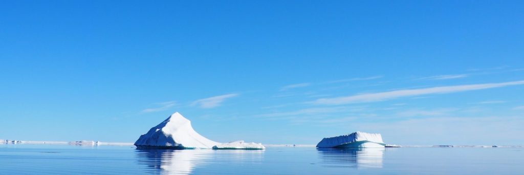
The Arctic Ocean's extensive submarine continental shelves and adjacent landmasses contain vast ore deposits, excellent subsurface reservoirs and proven hydrocarbon systems, all of which may be needed for tackling the energy transition. The region is also important because it contains well-preserved palaeoclimate records and is itself sensitive to climatic perturbations, and so is an ideal place to monitor anthropogenic climate change. The geology and tectonics of the region have controlled the distribution of its resources and have influenced past climate. The drivers for the opening of the Arctic Ocean are complex and disputed; this is because much of the evidence is either concealed below sea-level or ice caps, and is further obscured by recurrent terrane displacement. As a consequence, regional syntheses combined with targeted field observations from key areas across the Arctic region are necessary to forward models for Arctic Ocean opening and the development of its resources.

Map of Region

Click here to explore our interactive map

Active Research Projects

  • Barents Shelf Provenance Project 2017-2019
About our projects

Most Recent Reports

  • A review of the crystalline basement of the Barents Shelf and adjacent areas
  • Source rock characteristics of Cretaceous mudstone in the Anderson Basin
  • Chronostratigraphic constraints for Triassic sand dispersal on the western Barents Shelf
  • Late Carboniferous to Early Permian reservoir development on the Stappen High: New insight from field and photogrammetric surveys of Bjørnøya
  • Geological history of Bjørnøya through virtual outcrop models
View a full list of our reports

Interactive Map

  • Arctic Region
    • Canadian-Alaskan Arctic
    • East Greenland and Mid-Norway
    • Western Barents Shelf
    • Eastern Barents Shelf
    • Russian Arctic
  • China Region
    • Northwest China
    • North China
    • South China
  • East Africa Region
  • North Africa and Middle East Region
    • North Africa Region
    • Oman Fracture Research
    • Oman Palaeokarst Research
    • Zagros
  • North Atlantic Region
    • East Greenland and Mid-Norway
    • SE Greenland and Faroe-Shetland Islands
    • Western Barents Shelf
    • Southern North Sea
  • Russia Region
    • Eastern Barents Shelf
    • European Russia
    • Russian Arctic
    • West Siberian Basin
    • Siberian Platform
    • Russian Far East
  • South Atlantic Region
    • Sergipe-Alagoas Basin
    • Neuquén Basin
    • Falkland Islands-Malvinas
    • West and Southern Africa
  • Southeast Europe to West Central Asia Region
    • Dinarides-Hellenides
    • Black Sea Region
    • North Caspian
    • Central Caspian
    • South Caspian
  • © CASP A Not-For-Profit Organisation
  • Charity No. 298729
  • Privacy
  • Cookies
  • Contact Us
  • Jobs
  • LinkedIn